
Radar Survey Probes the Buried Roman City of Truentum
A September radar survey at Martinsicuro covered five areas of ancient Truentum. The data are being processed as the municipality considers a future archaeological park.

Archaeologists have surveyed the buried Roman city of Truentum at Martinsicuro, on Italy’s Adriatic coast, using ground-penetrating radar. The settlement stood near the mouth of the Tronto, where an inland route reached the sea. The work covered five areas totalling approximately 3 hectares (7.4 acres) between 21 and 24 September 2026. It is intended to locate structures in parts of the settlement beyond the earlier excavations at Case Feriozzi.
The update published on 21 October says the measurements are still being processed. Possible streets, building plans and harbour-related remains are targets for interpretation, to be assessed alongside the records of the earlier excavations.
The archaeological company ABACO carried out the work for the municipality, with authorisation from the Soprintendenza responsible for L’Aquila and Teramo. The project brings a new phase of investigation to a place whose Roman remains were excavated in the 1990s and whose protected archaeological area includes privately owned land. A municipal contract award dated 17 September records a cost of €7,000 before VAT, or €8,540 including VAT, funded from municipal funds.
Reading through the soil above Truentum
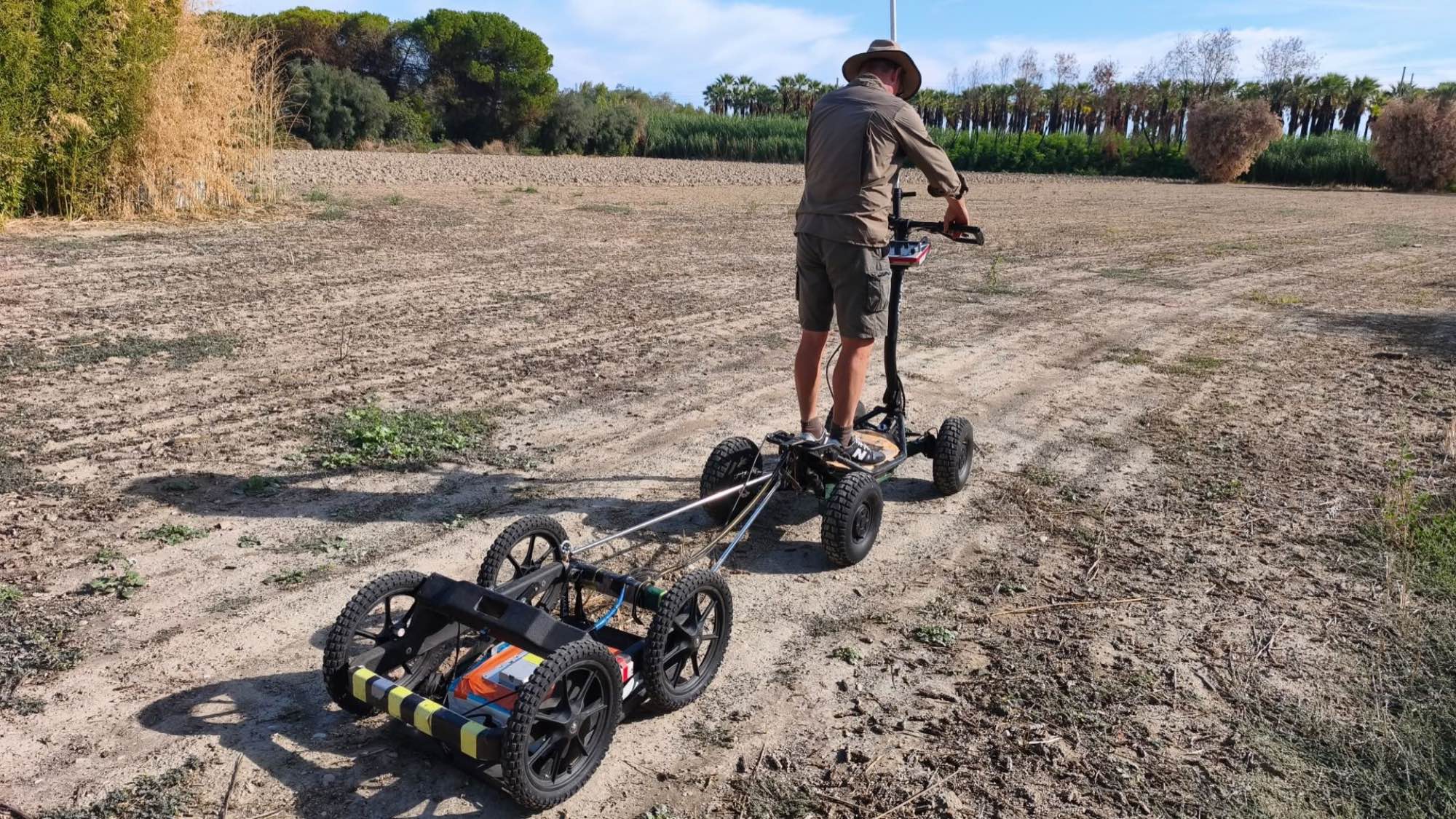
The contract calls for an assessment of archaeological deposits and the depth of the surviving layers, using parallel radar transects and a final report covering the investigated area. The October update records 364 parallel profiles extending approximately 27 kilometres (17 miles), acquired during the four days of fieldwork.
Ground-penetrating radar sends short pulses of electromagnetic energy into the ground and records the reflections. Differences between buried materials and the surrounding soil create contrasting responses; the time taken for a signal to return helps estimate depth. Archaeologists can combine closely spaced survey lines into horizontal slices showing features at successive levels.
Those images then require archaeological interpretation. Walls, surfaces and other features must be identified within the measured contrasts and related to the site’s existing documentation. This approach has also helped investigate the buried Roman settlement at Stein.
A commercial district beside the Tronto
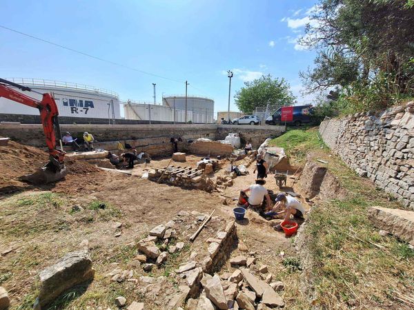
The excavations of 1991–1995 established the location of Castrum Truentinum, also known as Truentum, near the mouth of the River Tronto. Its position connected the Via Salaria with the Adriatic coastal route, placing the settlement within the road connections between Roman centres. The excavated district provides the starting point for understanding what may continue under the surrounding land.
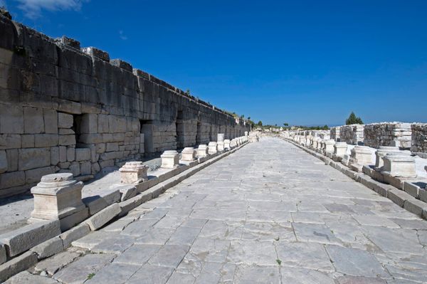
Buildings stood beside a north–south street that was first gravelled and later paved with stone. The excavator described warehouses and shops, often with porticoes along their fronts. These remains give the new investigation a commercial setting, with storage among the activities represented, a subject examined more broadly in our account of Roman warehouses and the movement of goods.
A public building investigated in 1995 had a central courtyard, a fountain, porticoes on three sides and rooms opening towards them. Its plan was interpreted as a macellum, or market building. An initial phase dated to the second–first centuries BCE was followed by rebuilding in brick during the first half of the second century CE, documenting changes within the commercial quarter.
The survey comes before a proposed archaeological park
The municipality’s original decision, adopted on 29 June 2026, sets out the practical purpose of the investigation. It calls for non-invasive assessment in cooperation with the Soprintendenza, preserving the ground while establishing its archaeological potential. The selected area lies between Via Roma, the railway and Via Po, alongside the Tronto; the council identifies the parcels to be assessed within the wider protected zone. The decision also records the protection imposed on the area by a ministerial decree of 7 June 2001.
The council’s longer-term aim is to acquire relevant private land for an archaeological park supporting public access and research. It makes acquisition conditional on positive archaeological diagnostics, with work potentially proceeding in separate areas. The radar campaign therefore belongs to an assessment stage before land purchases and the subsequent creation of the proposed park.
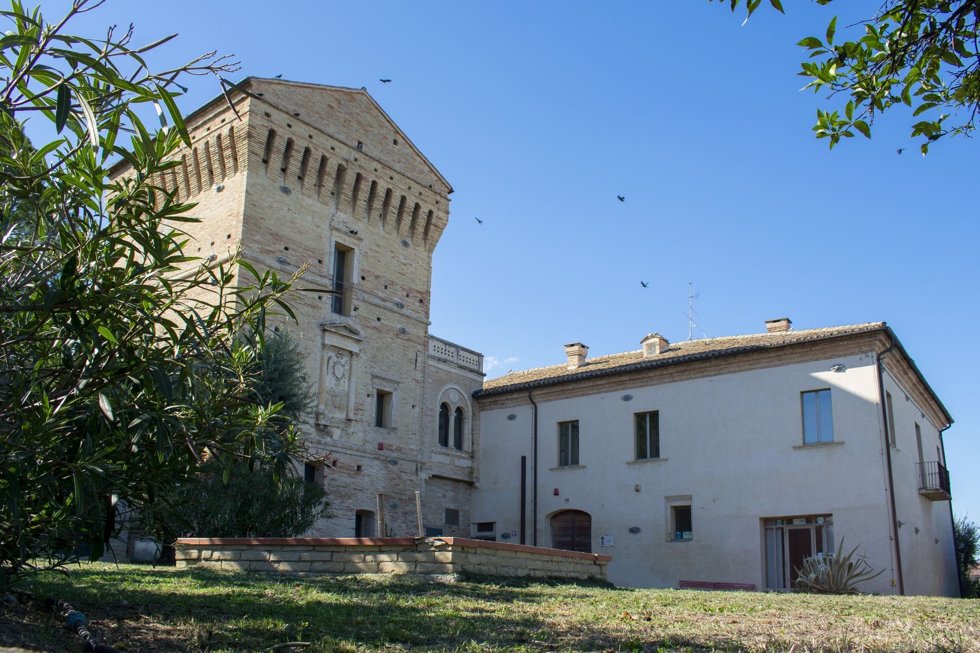
Finds from earlier excavations are already represented in Martinsicuro’s Antiquarium di Castrum Truentinum, in the Torre Carlo V complex. The museum holds material recovered during campaigns directed by the Abruzzo archaeological authority, including objects dating to the Late Bronze Age and early Iron Age. Its collections also include a sixth–seventh-century CE Lombard burial. The next planned step for the Roman city is the presentation of the processed survey, bringing the measurements together with the excavated evidence to assess what survives beyond the known quarter.

About the Roman Empire Times
See all the latest news for the Roman Empire, ancient Roman historical facts, anecdotes from Roman Times and stories from the Empire at romanempiretimes.com. Contact our newsroom to report an update or send your story, photos and videos. Follow RET on Google News, Flipboard and subscribe here to our daily email.
Follow the Roman Empire Times on social media: